“I wonder if the snow loves the trees and fields, that it kisses them so gently? And then it covers them up snug, you know, with a white quilt; and perhaps it says, "Go to sleep, darlings, till the summer comes again.”
― Lewis Carroll

Our fuzzy pup, Betsy!

She sniffs the snow and gets a snow beard. She loves it.


Can you see the snowball coming right at me?!

I used a cover for my camera and shot through it sometimes. It gave the images this dreamy affect.


Betsy loves the water anytime of year.


These geese came it so close! I love that they left the snow on their backs.


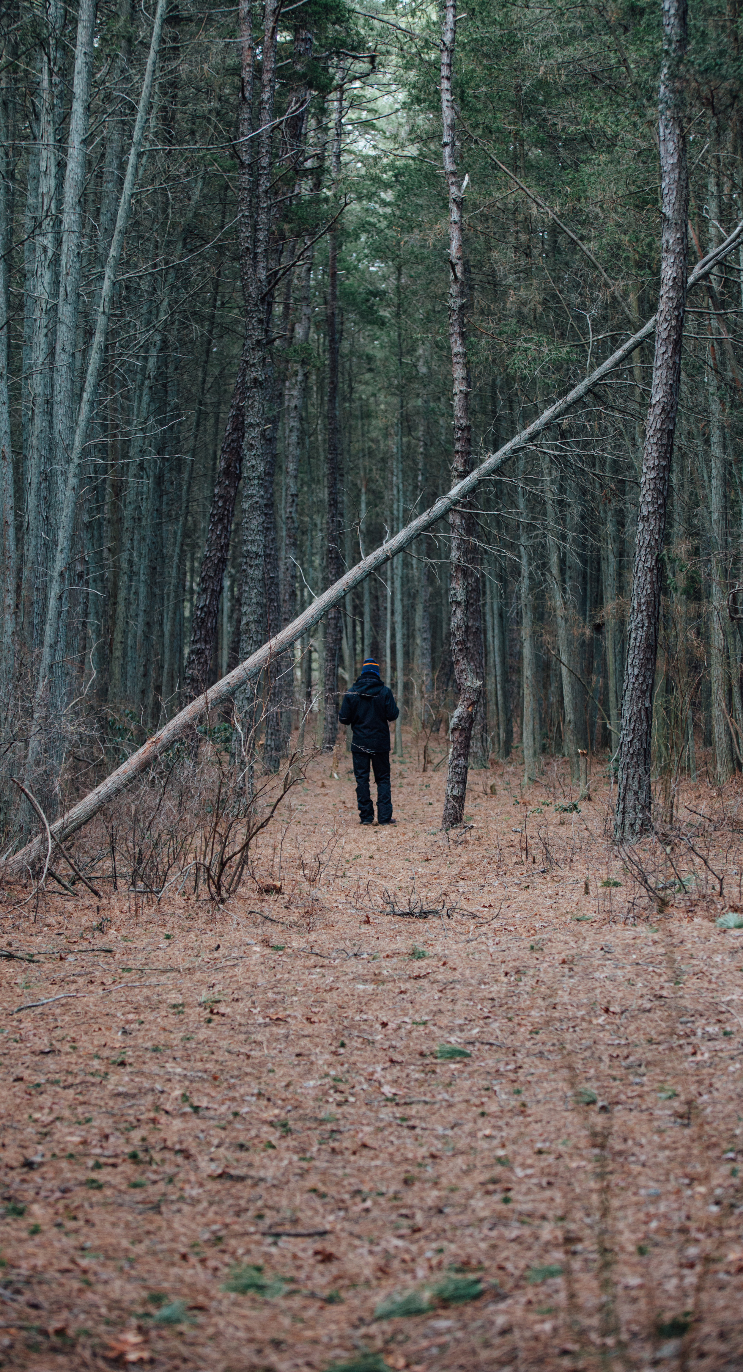
Snow Adventures Day 2

Snow beard is out!


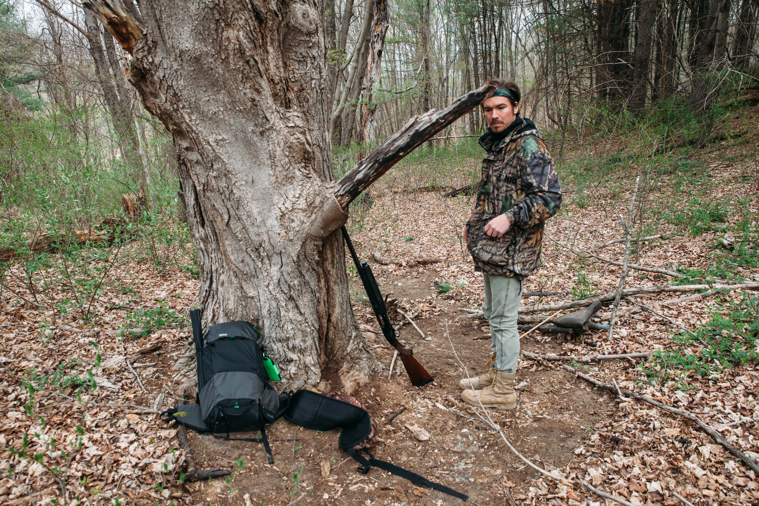
Dead coyote


Betsy living her best life.


One of my favorite pictures of Betsers :)