Hiking

The Painted Desert and Petrified Forest National Park in Winter by Tara Tayan

painted-desert-petrified-forest-tara-tayan-compass-canvas-22.jpg
arizona-2.jpg

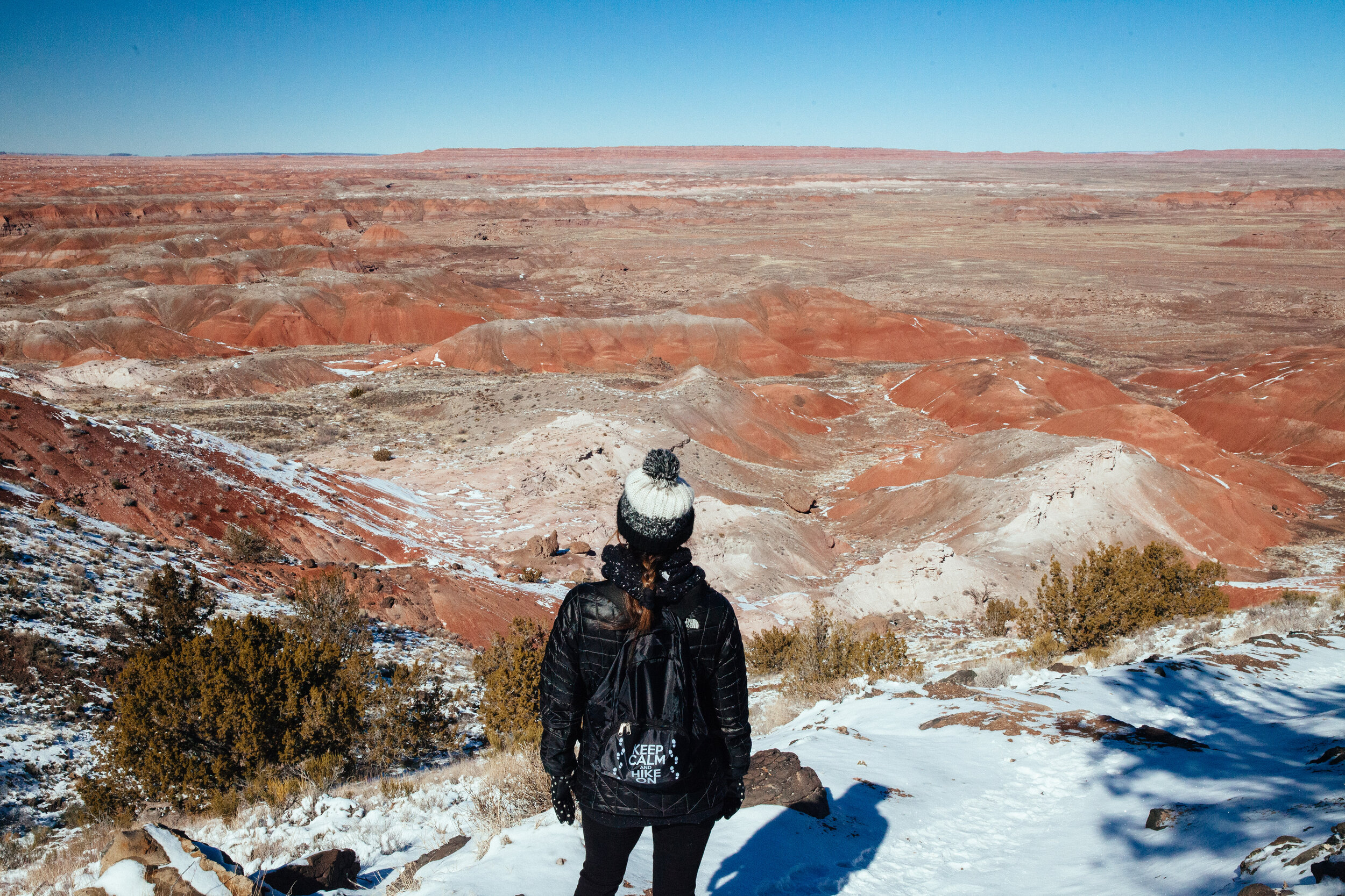
For the past several years, my mom has travelled to Arizona for the Gem & Mineral Show in Tucson. It’s long days at the shows but a few times we have made it into road trip where I got to check some national parks off my list. One of those times we drove to the Petrified Forest National Park and Painted Desert.

I loved how the snow dusted the barren landscape. The temperature was a high of 35 that day but the sun was out. It was so peaceful with hardly any other people walking the trails or cars clogging up popular areas.

I remember our bed & breakfast, Brad’s Desert Inn, had themed rooms. We were in the eagle room (go birds) and the owner would make the most enormous breakfast. She told us about her dreams for renovating the rooms and I hope to go back one day to see how they turned out.

This trip had many memorable stops. Arizona is one of my favorite places but I definitely loved our time at this park. Stay tuned for a more detailed blog post on the route we took and stops we made along the way!

painted-desert-petrified-forest-tara-tayan-compass-canvas-1.jpg
painted-desert-petrified-forest-tara-tayan-compass-canvas-2.jpg
painted-desert-petrified-forest-tara-tayan-compass-canvas-3.jpg
painted-desert-petrified-forest-tara-tayan-compass-canvas-4.jpg
painted-desert-petrified-forest-tara-tayan-compass-canvas-5.jpg

This national park has preserved part of Route 66. This old Studebaker sits at the crossroads where the newly built I-40, runs almost parallel with it.

painted-desert-petrified-forest-tara-tayan-compass-canvas-6.jpg
painted-desert-petrified-forest-tara-tayan-compass-canvas-7.jpg
painted-desert-petrified-forest-tara-tayan-compass-canvas-8.jpg
painted-desert-petrified-forest-tara-tayan-compass-canvas-9.jpg
painted-desert-petrified-forest-tara-tayan-compass-canvas-10.jpg
painted-desert-petrified-forest-tara-tayan-compass-canvas-11.jpg
arizona-1.jpg
painted-desert-petrified-forest-tara-tayan-compass-canvas-13.jpg
painted-desert-petrified-forest-tara-tayan-compass-canvas-12.jpg
painted-desert-petrified-forest-tara-tayan-compass-canvas-14.jpg
painted-desert-petrified-forest-tara-tayan-compass-canvas-15.jpg
painted-desert-petrified-forest-tara-tayan-compass-canvas-16.jpg
painted-desert-petrified-forest-tara-tayan-compass-canvas-17.jpg
painted-desert-petrified-forest-tara-tayan-compass-canvas-18.jpg
painted-desert-petrified-forest-tara-tayan-compass-canvas-19.jpg
painted-desert-petrified-forest-tara-tayan-compass-canvas-20.jpg
painted-desert-petrified-forest-tara-tayan-compass-canvas-23.jpg
painted-desert-petrified-forest-tara-tayan-compass-canvas-24.jpg
painted-desert-petrified-forest-tara-tayan-compass-canvas-25.jpg
painted-desert-petrified-forest-tara-tayan-compass-canvas-26.jpg
painted-desert-petrified-forest-tara-tayan-compass-canvas-27.jpg
sedimentary layers of Blue Mesa

sedimentary layers of Blue Mesa

painted-desert-petrified-forest-tara-tayan-compass-canvas-29.jpg
painted-desert-petrified-forest-tara-tayan-compass-canvas-30.jpg
painted-desert-petrified-forest-tara-tayan-compass-canvas-31.jpg
painted-desert-petrified-forest-tara-tayan-compass-canvas-32.jpg
painted-desert-petrified-forest-tara-tayan-compass-canvas-33.jpg
painted-desert-petrified-forest-tara-tayan-compass-canvas-34.jpg
painted-desert-petrified-forest-tara-tayan-compass-canvas-35.jpg
painted-desert-petrified-forest-tara-tayan-compass-canvas-36.jpg
painted-desert-petrified-forest-tara-tayan-compass-canvas-37.jpg
painted-desert-petrified-forest-tara-tayan-compass-canvas-38.jpg
painted-desert-petrified-forest-tara-tayan-compass-canvas-39.jpg
painted-desert-petrified-forest-tara-tayan-compass-canvas-40.jpg
painted-desert-petrified-forest-tara-tayan-compass-canvas-41.jpg
painted-desert-petrified-forest-tara-tayan-compass-canvas-42.jpg
painted-desert-petrified-forest-tara-tayan-compass-canvas-43.jpg
Agate Bridge

Agate Bridge

painted-desert-petrified-forest-tara-tayan-compass-canvas-45.jpg
painted-desert-petrified-forest-tara-tayan-compass-canvas-46.jpg
Like a giant chocolate log cake.

Like a giant chocolate log cake.

painted-desert-petrified-forest-tara-tayan-compass-canvas-48.jpg
painted-desert-petrified-forest-tara-tayan-compass-canvas-49.jpg
painted-desert-petrified-forest-tara-tayan-compass-canvas-50.jpg
painted-desert-petrified-forest-tara-tayan-compass-canvas-51.jpg
painted-desert-petrified-forest-tara-tayan-compass-canvas-52.jpg
painted-desert-petrified-forest-tara-tayan-compass-canvas-53.jpg
painted-desert-petrified-forest-tara-tayan-compass-canvas-54.jpg
painted-desert-petrified-forest-tara-tayan-compass-canvas-55.jpg
This is where I bought a petrified wood specimen to further my collection! :)
This is where I bought a petrified wood specimen to further my collection! :)

A Southern Excursion: Part I by Tara Tayan

A journey into the Southern United States on a classic summer road trip.

On this section of our journey... touring the Trans-Allegheny Lunatic Asylum in Weston, West Virginia and while supporting the privately funded attempt to preserve one of the largest hand-cut stone buildings in the world. Then spelunking into a world created by slightly acidic water through soft limestone in Mammoth Cave National Park, Kentucky and tasting the effect of this combination at a few of the areas historic bourbon distilleries nearby in Bardstown, Kentucky.  Lastly, testing the “hype” about the renovation of East Nashville, Tennessee.

Weston, West Virginia is home to the Trans-Allegheny Lunatic Asylum, a unique renovated building.

Weston, WV

The first stop on the southern leg of our journey took us to Weston, West Virginia, touring the Trans-Allegheny Lunatic Asylum. The Asylum had been in use since the Civil War and it is one of the largest hand-cut stone buildings in the world, second only to the Kremlin. This being the case, we were astonished that such a historically and architecturally significant building could fall into such a state of disrepair.

The Trans-Allegheny Lunatic Asylum is a unique and historical stop in Weston, West Virginia.
The deteriorating Trans-Allegheny Lunatic Asylum has many unique tours for historians and photographers. 

Weston, like many of the small towns we passed through in the mountains of West Virginia, seems to have been left behind economically. As the towns deteriorate there is little monetary power to prevent it.

Scenes like these are repeated in almost every small town we passed through.

Scenes like these are repeated in almost every small town we passed through.

Small town in West Virginia where the building has almost completely collapsed. 

Local and state government doesn’t even seem to be in any position to stem the tide, but the Trans-Allegheny Lunatic Asylum’s fate has been saved privately, by Joe Jordan and his daughter Rebecca Jordan Gleason.  Despite most of the grounds still being in a crumbling state of disarray, they’ve started giving tours to raise money for the renovation.  Naturally we had to take a tour.

Trans Allegheny Lunatic Asylum speaker, no longer in use. 
Old barber shop chair at the Trans-Allegheny Lunatic Asylum in West Virginia. 
A toilet in need of repair at the Trans-Allgeheny Lunatic Asylum in West Virginia. 
A tour of the grounds at the Trans-Allgeheny Lunatic Asylum in Weston, West Virginia. 
Tour guide and tour at the Trans-Allgeheny Lunatic Asylum in Weston, West Virginia. 
Lonely chess board at the Trans-Allgeheny Lunatic Asylum in West Virginia. 
Photographer in the mirror at the Trans-Allgeheny Lunatic Asylum in West Virginia. 

Louisville, KY

From Weston we headed west toward Louisville, which would serve as the starting point for our enjoyment of the byproducts of Kentucky’s large limestone deposit. The first byproduct being bourbon as the limestone filters spring water bubbling up from below. Kentuckians claim this pristine water is the base for the bourbon flavor profile.  

Protecting the water supply at Heaven Hill.

Protecting the water supply at Heaven Hill.

Before hitting the bourbon trail we decided to go “glamping” for a night in a renovated vintage 1960’s camper.

You can rent this camper on Airbnb.

You can rent this camper on Airbnb.

A quaint camper for a unique overnight stay in Louisville, Kentucky. 

Bardstown, KY

If you do not have the time to cover the entire Bourbon Trail, Bardstown, KY is a great way to maximize your time with a multitude of distilleries nearby. We decided to visit Willett Distillery and Maker’s Mark sampling some of Kentucky’s finest.

A rickhouse at Heaven Hill.

A rickhouse at Heaven Hill.

Willett is a family owned and operated distillery and when visiting it definitely has a more personal feeling; we met members of the family during the tour of the grounds.  However, despite its small-business feel, Willett is still a large-scale producer of bourbon and an official stop on the Bourbon Trail.  We felt this combination made them a great business to support.

The entrance at Willett Distillery in Bardstown, Kentucky home to part of the Bourbon Trail. 
Rickhouses at Willet.

Rickhouses at Willet.

The photographs below follow the process of creating bourbon chronologically.   

The photographs below follow the process of creating bourbon chronologically.   

The mash tub is the first step of the bourbon process.
The fermenter tank at Willett Distillery in Bardstown, Kentucky. 
Tasting the mash during the fermentation process.

Tasting the mash during the fermentation process.

Signature limestone green water.

Signature limestone green water.

Heads and Tails whiskey tank at the Willett Distillery in Bardstown, Kentucky. 
The copper pot still for distilling the mash.

The copper pot still for distilling the mash.

Filling the barrels with whiskey to age them at Willett Distillery in Kentucky. 
Labeling the bourbon barrels at Willett Distillery in Kentucky.
Bourbon whiskey tasting and tour at Willett Distillery in Bardstown, Kentucky. 
Rolling the bourbon barrels into the rickhouse at Willett Distillery in Kentucky along the bourbon trail. 
Aging whiskey bourbon at the Willett Distillery in Kentucky along the bourbon trail. 
Country hams hanging with the bourbon.  They absorb some of the flavors that escape the barrels.

Country hams hanging with the bourbon.  They absorb some of the flavors that escape the barrels.

The grounds and process of whiskey bourbon at the Willett Distillery in Kentucky. 

We decided on Maker’s Mark for distilling in its most beautiful form. The picturesque grounds and facilities made for ideal photo documenting of the distilling process. This place just oozes classiness. Plus, they make fantastic bourbon!

The beginning of the Maker's Mark whiskey bourbon tasting and tour of the grounds. 
Heads and Tails tank at the Maker's Mark whiskey distillery in Bardstown, Kentucky. 
Part of the fermenting process at the Maker's Mark whiskey bourbon distillery in Kentucky along the bourbon trail. 
Maker's Mark whiskey bourbon tasting tour. 
The grounds at Maker's Mark whiskey distillery in Bardstown, Kentucky. 
You can dip your own bottle at the end of the tour.

You can dip your own bottle at the end of the tour.

Everyone on the tour can take a label from the one woman who produces them for Maker's Mark. 
Both Willet and Maker's Mark end their tours with a tasting.

Both Willet and Maker's Mark end their tours with a tasting.

Mammoth Cave, KY

The other result of water running through Kentucky’s limestone is Mammoth Cave. Water of the Green River Valley has been working its way through the earth for ages, eventually creating the longest known cave system in the world.  

Mammoth Cave National Park tour in Kentucky. 

The National Park service offers a multitude of cave tours, we decided on two evening tours since it’s the same amount of dark down there at all times and we wanted to use the daylight hours to explore the rest of the park. Important to note it’s also the same amount of cold down there, the temperature stays around 54°F year round, so you may want a jacket.  

Walking through during the Frozen Niagara tour at Mammoth Cave National Park. 

We started with a lantern tour which tries to capture the experience of cave exploring from about two hundred years ago. You pass an odd assortment of man-made structures ranging from an area used to produce gun powder to a tuberculosis hospital. Exploring the meandering, intertwined network of tunnels with limited light instills a sense of respect toward the early explorers of the cave and also provides plenty of references to the Mines of Moria.

The historic lantern tour at Mammoth Cave National Park in Kentucky. 
Inside the cave during the lantern tour at Mammoth Cave National Park. 
Old smoke writing at Mammoth Cave National Park in Kentucky. 

Between trips below the surface we decided to hike along the cliffs of the Green River in hope of finding a few rattlesnakes. The layers of sediment that make up the cliff face provide little crevices for the snakes to hide in that seemed like perfect habitat, but our search was in vain. We did find a few other little critters.  

A ferry across the Green River.

A ferry across the Green River.

Rat snake

Rat snake

The layers of limestone sediment that surround the Mammoth Cave National Park. 
Flat-backed Millipede

Flat-backed Millipede

Five-lined Skink

Five-lined Skink

For our second subterranean adventure we chose the Focus on Frozen Niagara tour because it is catered to photographers. After a brief tour most of the time is dedicated to allowing photographers free range of the Frozen Niagara area of the cave system.

The Frozen Niagara photographer's tour at Mammoth Cave National Park. 
A continual drip of water at Mammoth Cave National Park in Kentucky. 
Layers of rock and sediment at Mammoth Cave National Park in Kentucky. 
The Frozen Niagara photographer's tour at Mammoth Cave National Park. 
Cave cricket

Cave cricket

East Nashville, TN

We surfaced from the damp cave into a rain-soaked Kentucky night and drove south to Nashville.  We wanted to explore the urban renewal of East Nashville and see if it lived up to all the hype as the neighborhood of country music’s younger, hipper side.  

Unique signage along the way to Nashville, Tennessee. 
Reading a map in the neighborhood of East Nashville, Tennessee. 

The renovations concentrated around, but not limited to, Main Street, Woodland Street, and Gallatin Avenue are ambitious. It seems every available building is being renovated into a bar, restaurant, café, music venue, brewery or vintage clothing store regardless of the purpose it served before. We found East Nashville to be an easily walk-able neighborhood, great for aimlessly traveling from one establishment to the next.  

A unique, hipster coffee shop in East Nashville, Tennessee. 
The Basement- music venue/event space.

The Basement- music venue/event space.

Five Points shopping center in East Nashville, Tennessee. 
An assortment of vintage goods and clothing stores.

An assortment of vintage goods and clothing stores.

As mentioned before, the majority of the establishments we visited were along three main streets, so there is plenty of room for growth in East Nashville.  With some of the most visited attractions having been created from buildings that once served other purposes, combined with the fact that we observed plenty of dilapidated buildings not far from the main-strip, we feel that it is a safe conclusion that the new East Nashville is just beginning.

Barista Parlor- an auto garage converted into a cafe.

Barista Parlor- an auto garage converted into a cafe.

Fat Bottom- a brewery with a bar.

Fat Bottom- a brewery with a bar.

Unique and strange street art in East Nashville, Tennessee. 
Dino's Ice cold beer sign in East Nashville, Tennessee. 

Stay tuned for the next part of our excursion into the South!

Buck Hill Inn | The Heart of the Honeymoon Capital of the World by Tara Tayan

The Poconos are still thought of as a vacation destination, but the “Honeymoon Capital of the World” is not what it once was.  Many of the luxurious mountain hideaways have closed, but that doesn’t mean these spaces in nature should no longer be enjoyed. Buck Hill Inn will soon be demolished by Smart Recycling Inc. rather than renovated or preserved.  We are grateful to have been able to collect these images before it was too late.  It is sad to lose such a historic landmark, but we can only hope that in doing so, more people will be able to enjoy nature responsibly.  

Buck Hill Inn was considered one of the most beautiful destinations in the Poconos, PA.

Buck Hill Inn is a quintessential representation of the decay the resort industry has undergone in the Poconos.  Built in 1901 with a number of large additions over the span of its 89-year life and surrounded by natural attractions including waterfalls and swimming holes, its age and size is unmatched among the abandoned resorts.  

This is the entrance to the Buck Hill Inn resort in Poconos, PA.
The back side view of the historic Buck Hill Inn, closed in the early 90s.

The resort property is owned by Buck Hill Falls company and is not open to the public.  The grounds are patrolled by security guards, so this large swathe of developed land and a vast amount of the surrounding forest is not open to the public.  Those curious about the "Honeymoon capital of the world" will soon not have the chance to explore and enjoy the beautiful architecture, while imagining the potential for such a space.  

A view from the restaurant at the Buck Hill Inn at sunrise in Poconos, PA.

We decided to explore the series of waterfalls and swimming holes along Buck Hill Creek first.  Trails ran from the Inn down to the stream, so visitors could take a short stroll for a swim.  We hiked in from High Acres Park off of Creek Road, Barrett Township.  

The Poconos is a gorgeous destination for hiking, adventuring, and swimming during the summer months in Pennsylvania. 
One of the many Poconos forest streams we crossed. 
The Poconos is a perfect blend of outdoor activities, swimming and hiking.
A close up of the moss plants growing alongside a stream in the Poconos, PA.
One of the many waterfalls and swimming holes in the Buck Hill Inn property in Poconos, PA.
Taking a dip into one of the many swimming holes along the Buck Hill Inn resort.
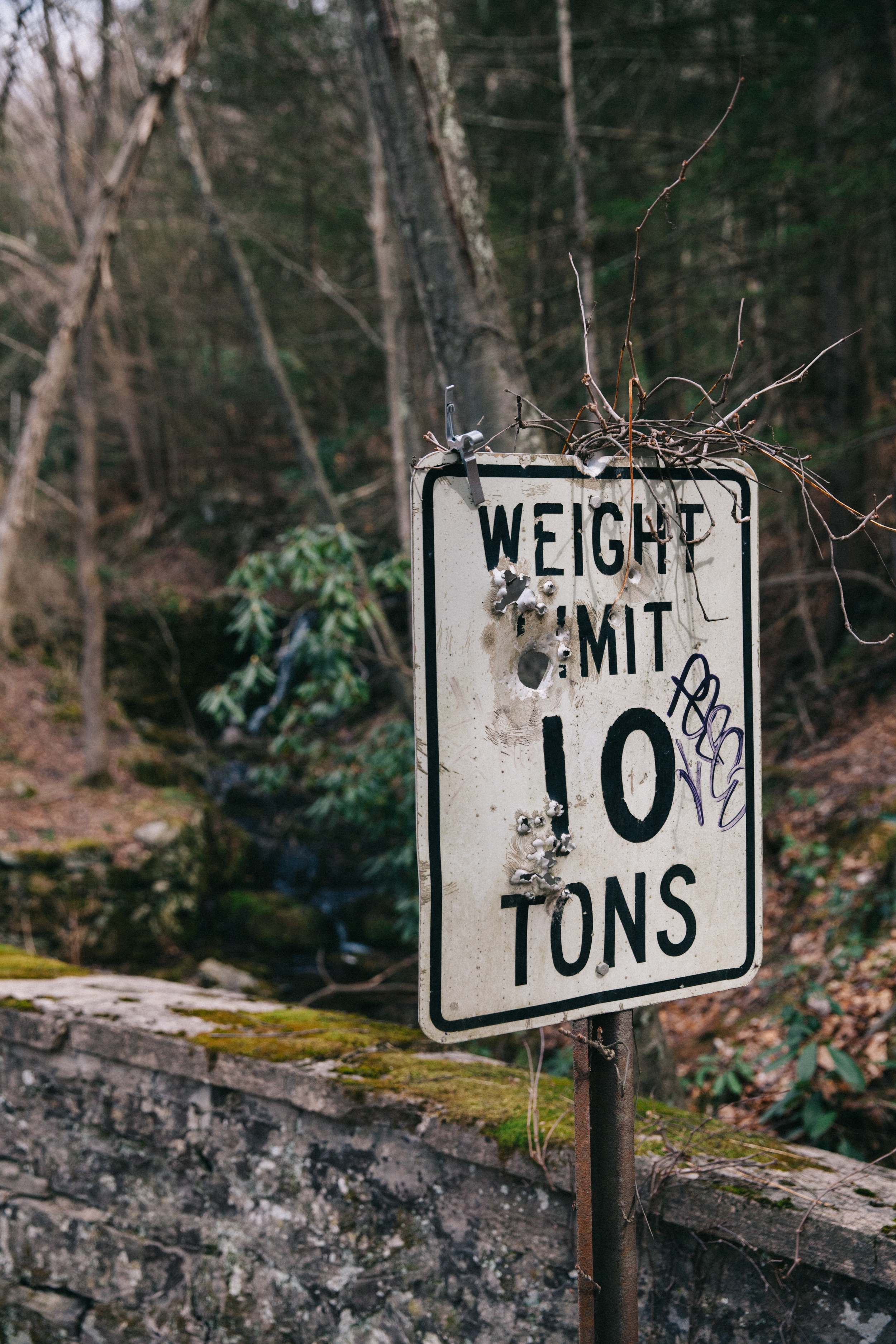
A historic stone built bridge in the Buck Hill Inn estate in Poconos, PA.
More waterfalls in Poconos, PA while exploring the Buck Hill Inn estate.
Extreme climbing and hiking to find a good spot to get into the Buck Hill Inn estate.
Two salamanders hanging out beside a stream in Poconos, PA.

The following morning we explored the inn at sunrise.  Hiking from PA-390, Cresco.

Flooded structures across the road from the Inn.

Flooded structures across the road from the Inn.

The view from our approach.

The view from our approach.

A close up view of the main structure at Buck Hill Inn estate in Poconos, Pennsylvania.
Interior view of one of the resort rooms at the historic Buck Hill Inn hotel in Pennsylvania.
Looking down a hallway at the Buck Hill Inn resort in Poconos, PA.
A tabloid newspaper left from the 1990's, when the historic Buck Hill Inn closed down.
We found a floor plan from 1985, helping with navigation through the dimly lit estate.

We found a floor plan from 1985, helping with navigation through the dimly lit estate.

Overlooking the West Wing

Overlooking the West Wing

View from the abandoned observation deck of the Buck Hill Inn hotel, closed in the 1990's.
The Observation Roof

The Observation Roof

One of the many decayed room inside of the Buck Hill Inn resort in the Honeymoon capital of the world, the Poconos.
An old telephone book left at the abandoned and decaying Buck Hill Inn resort destination in the Poconos.
A decaying and dilapidated room inside of the Buck Hill Inn resort in Pennsylvania.
Indoor Pool

Indoor Pool

Walking up from the complete darkness of the below ground first floor.

Walking up from the complete darkness of the below ground first floor.

One of the main halls on the Lobby Floor.

One of the main halls on the Lobby Floor.

The Greenery Luncheon Restaurant 

The Greenery Luncheon Restaurant 

Decaying wood panelling in the historic, abandoned Buck Hill Inn resort in Poconos, PA.
Looking at the front of the Buck Hill Inn at sunrise in the Poconos.

Exploring the Delaware Water Gap Part II - The Hunt by Tara Tayan

The other recreational activity Zack has introduced me to is hunting.  The Water Gap has provided Zack and his family hunting adventures and wild fare for over 10 years.  It took some convincing, with promises of “free-range, steroid-free” meat and remote photo-shoot locations, but this past spring we embarked on a hunt for wild turkey. However, I quickly realized in observing the nuances of the hunt and Zack’s intimate knowledge of the area that has come from hunting the area for so long would provide plenty of unique photography opportunities.  Here is a general guideline for the process of turkey hunting and some photographs along the way.

During this trip to the Delaware Water Gap, this hunter uses Lynchs turkey box call.
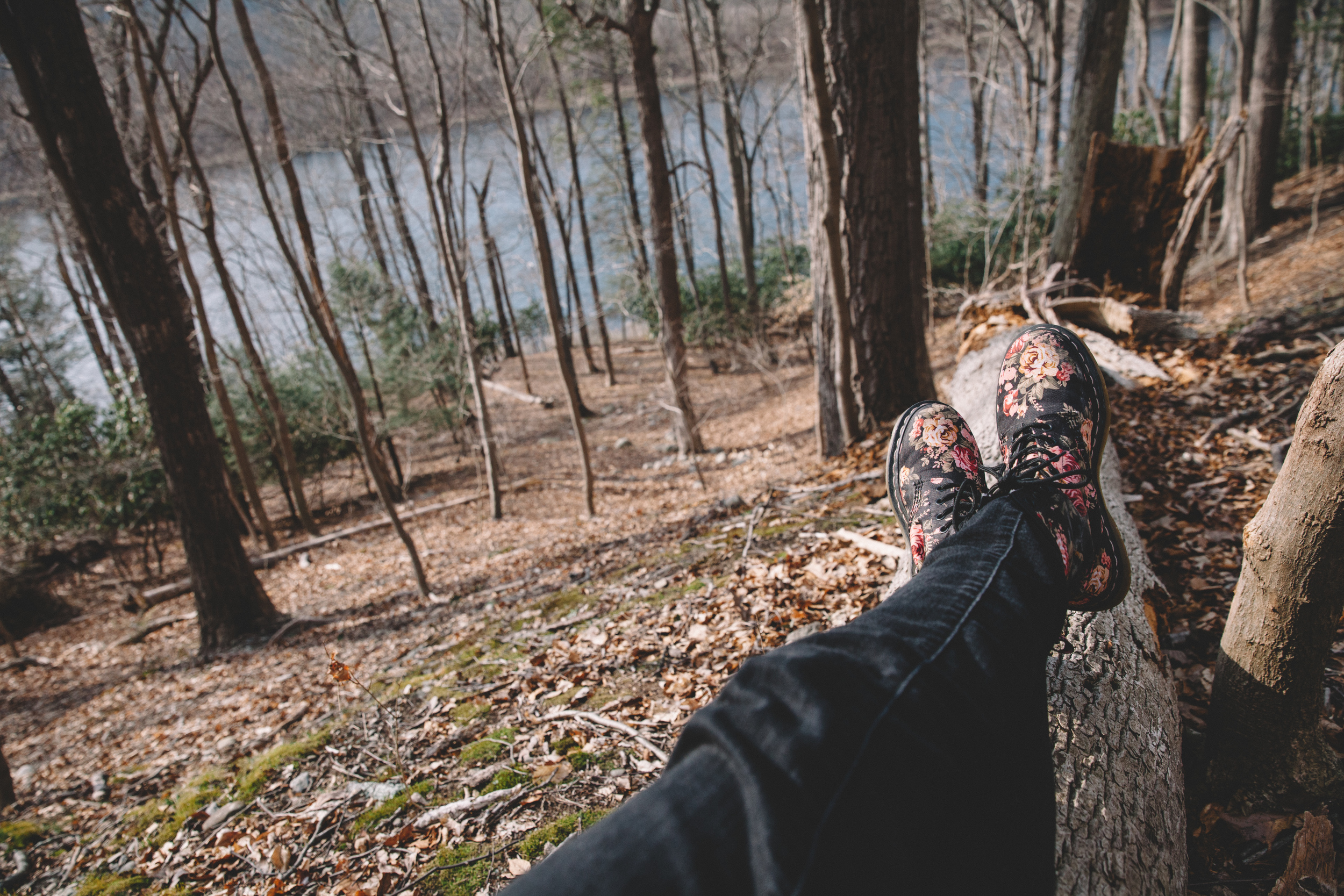
Taking a relaxing break against a tree trunk in the Delaware Water Gap, New Jersey.

Locating Turkey Populations

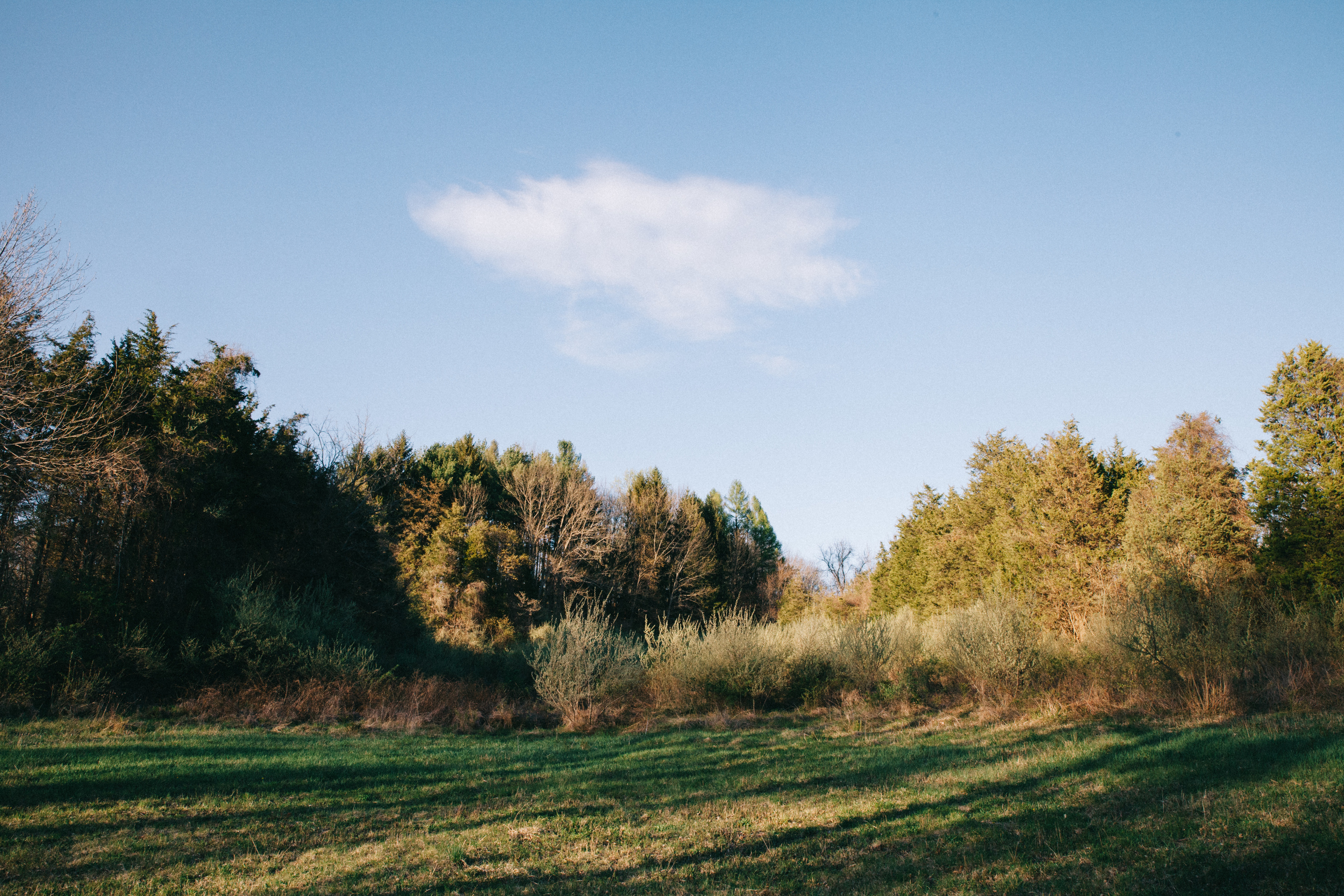
Before the hunt can begin the turkeys’ approximate locations must be found.  We narrowed our search to old farm fields and the wooded ridges that surround them.  Some of the fields are completely over-grown now, some are mowed and others are still leased out and used for farming.  All make for great turkey habitat.  Turkeys can be located using any number of calls impersonating a turkey.  Zack uses a “box call.”  It is ideal to find their location just before dark because the turkeys roost in trees for the night, so you know they’ll still be there in the morning.

Searching around an abandoned farm field in preparation for turkey hunting in the Delaware Water Gap.
A Lynch Box call.  The underside of the lid has a thin layer of chalk and is scraped across one side of the box.

A Lynch Box call.  The underside of the lid has a thin layer of chalk and is scraped across one side of the box.

This hen (female turkey) was getting ready to roost in the area close to where we decided to hunt.

This hen (female turkey) was getting ready to roost in the area close to where we decided to hunt.

Preparing our camp for the night.  We slept in the car.

Preparing our camp for the night.  We slept in the car.

The Morning Hunt

The key is to get close enough to where you think the turkeys are roosting, but not too close as to alert them of your presence.  The turkeys must be lured to you using a call, but using a decoy turkey can also add incentive, if you can find a spot open enough for the decoy to be visible while also offering enough cover for hiding.  As the sky begins to lighten, the turkeys begin to talk to each other.  We knew their approximate location, so we tried to plant ourselves amongst them in hopes of luring one within range.  All morning we could here them calling in what seemed like every direction, but no luck.

Early morning turkey calling in the Delaware Water Gap in New Jersey.
Setting up the turkey decoy hen or jenny to lure in some male turkeys or jakes. 
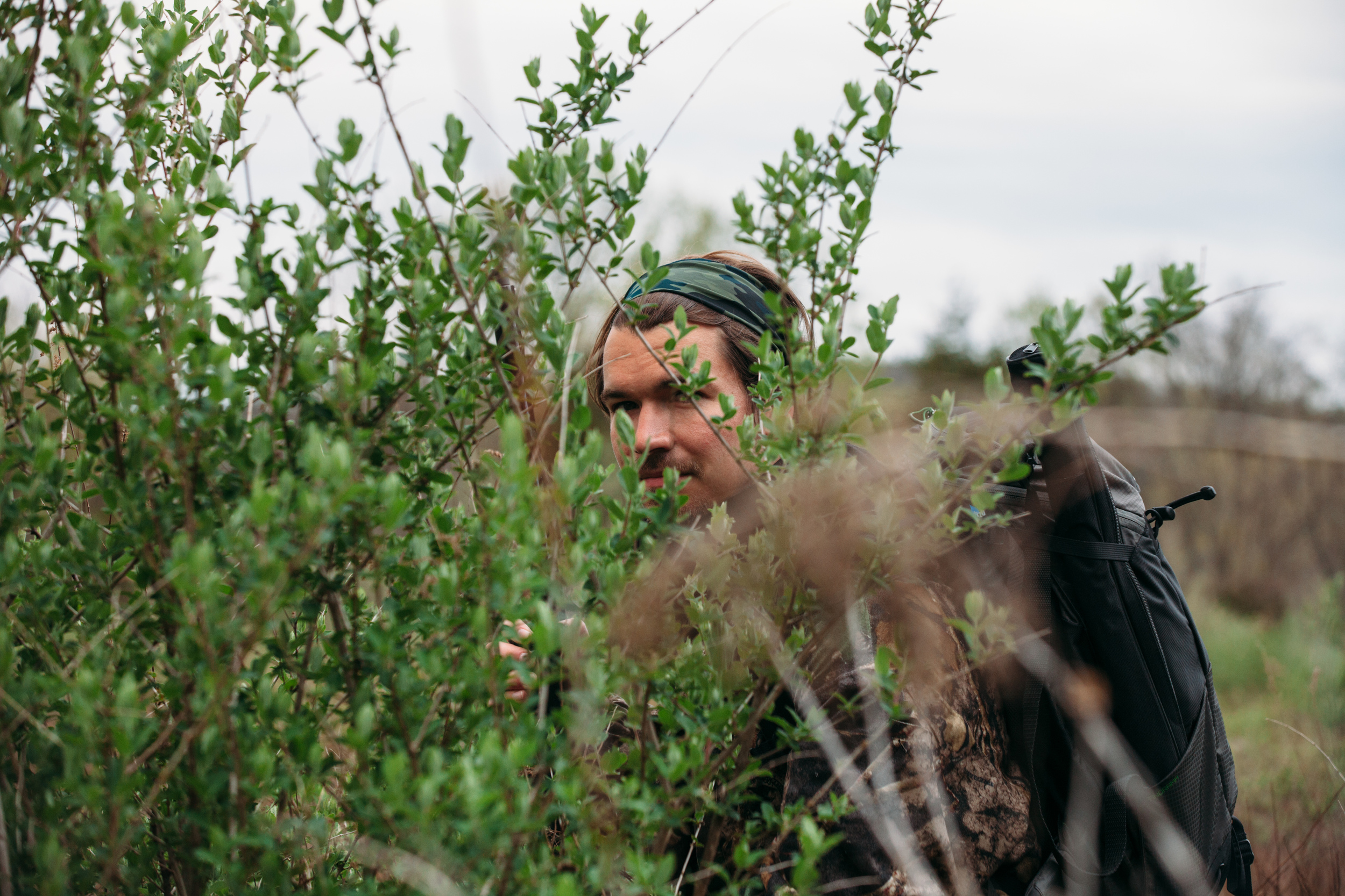
Hiding in brush with our camouflage to hide during turkey hunting in the Delaware Water Gap. 
Our decoy turkey hen waits for other turkeys in the Delaware Water Gap, New Jersey.
Placing the turkey decoy in an open field during an early morning hunt in the Delaware Water Gap.
Hiding in brush, waiting for toms(older turkey) and jakes(young turkey), photography by Compass & Canvas. 
In the Delaware Water Gap, turkey decoys are put out to lure in male turkeys.
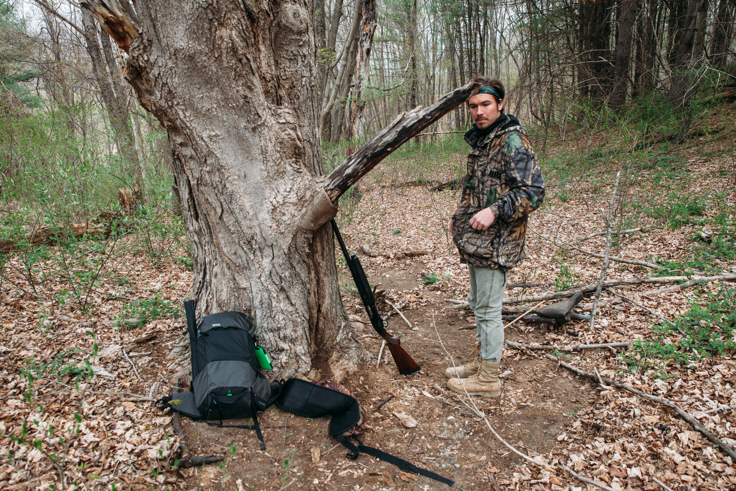
A Browning semi-automatic for the hunting and a Mindshift backpack for the photographing.

A Browning semi-automatic for the hunting and a Mindshift backpack for the photographing.

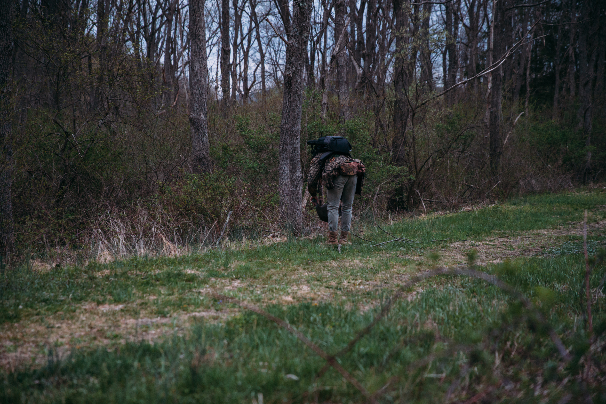
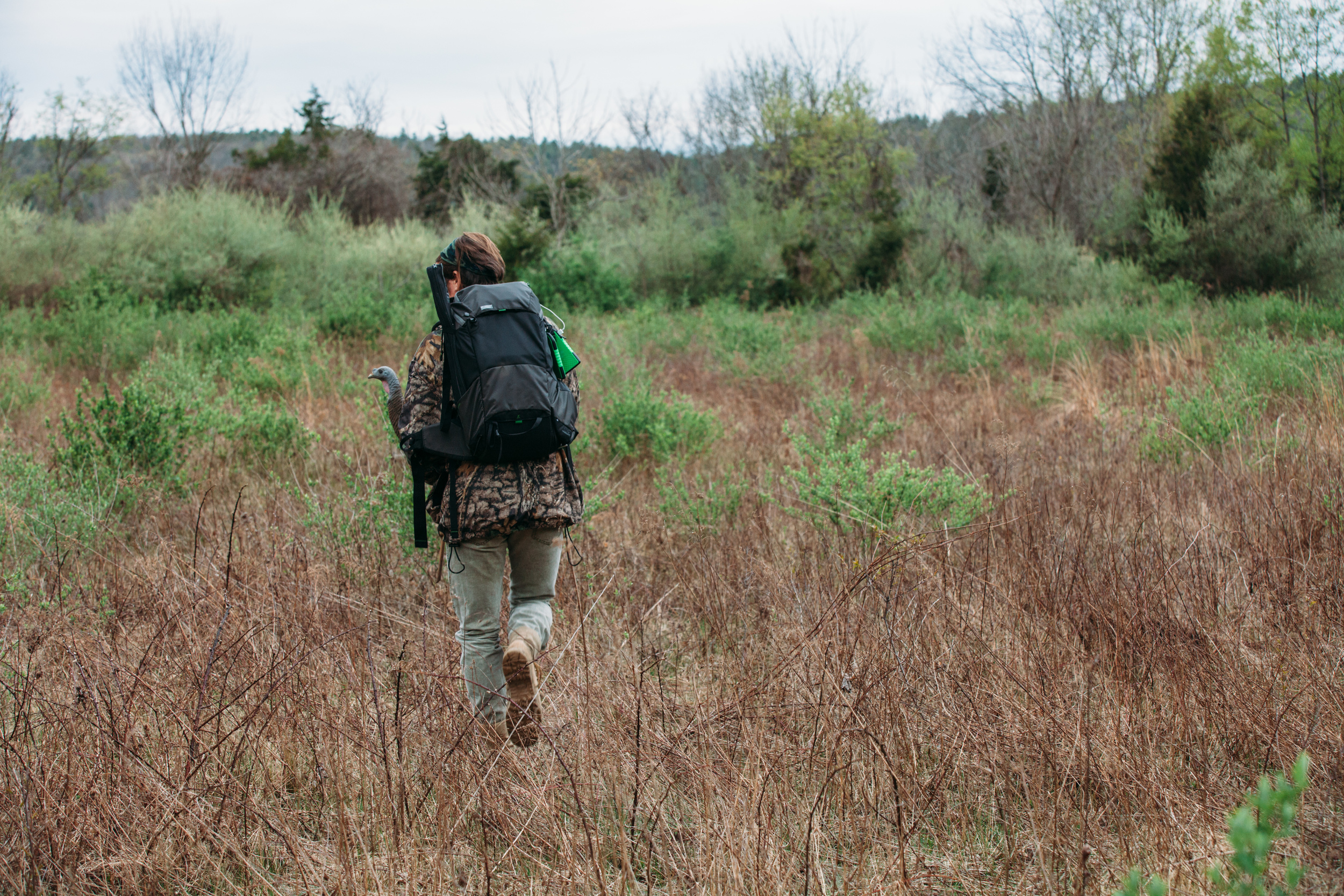
A hunter walks through the Delaware Water Gap in New Jersey looking for turkeys, photography by Compass & Canvas. 

The Late-Morning Hunt

In New Jersey turkey hunting is only permitted until 12pm to prevent hens from being disturbed as they hunker-down in their nesting areas for the afternoon.  In the final hours before noon Zack likes to find a sunny-open area, preferably on a ridge close to a stream and take a little nap.  After putting our decoy out about 30 yards from us, we relaxed under cover amongst dense vegetation surrounded on all sides by a mowed field.  Zack would pop his head up every 15 minutes to look around and call.  Sure enough, after about an hour two turkeys came out to investigate.  The result was turkey chili. 

Looking out from our hiding spot amongst the brush in the middle of the field.

Looking out from our hiding spot amongst the brush in the middle of the field.

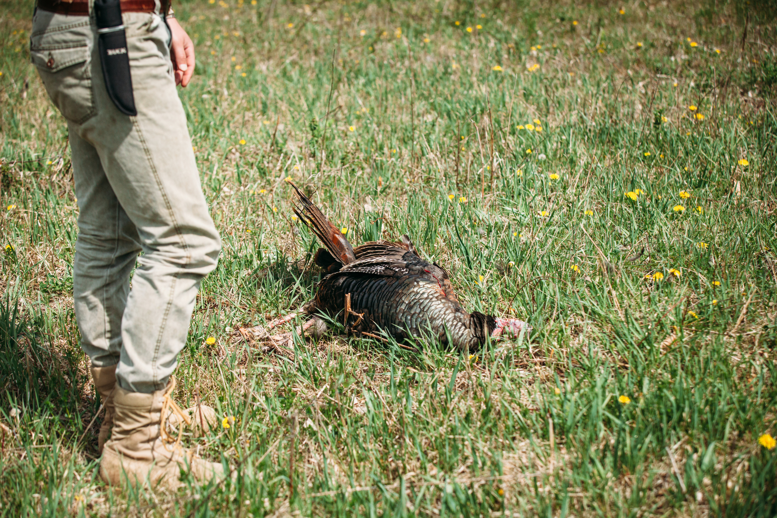
Turkey down!

Turkey down!

Filling out the turkey tag.

Filling out the turkey tag.

Lynch's long beard turkey box-call is a great tool for helping hunters lure in turkeys. 
The Delaware Water Gap, New Jersey side, is a vast space for hunting turkeys and other wildlife.
Wildlife photography documenting the science and knowledge of hunting turkeys in the Delaware Water Gap, New Jersey.

Finishing the job

Shooting the turkey is not the end of the hunt.  After properly tagging and checking the turkey in at the proper location, the task becomes removing and cleaning the meat.

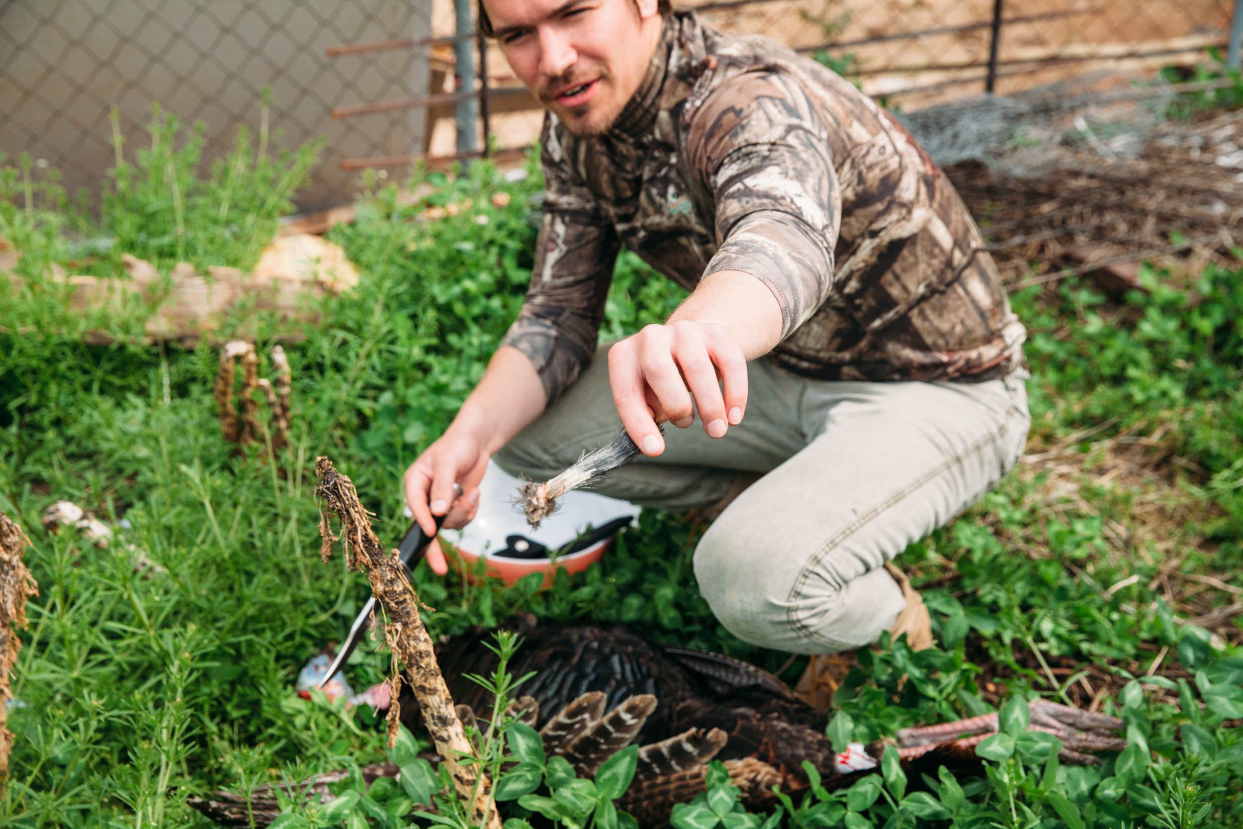
The turkey "beard."

The turkey "beard."

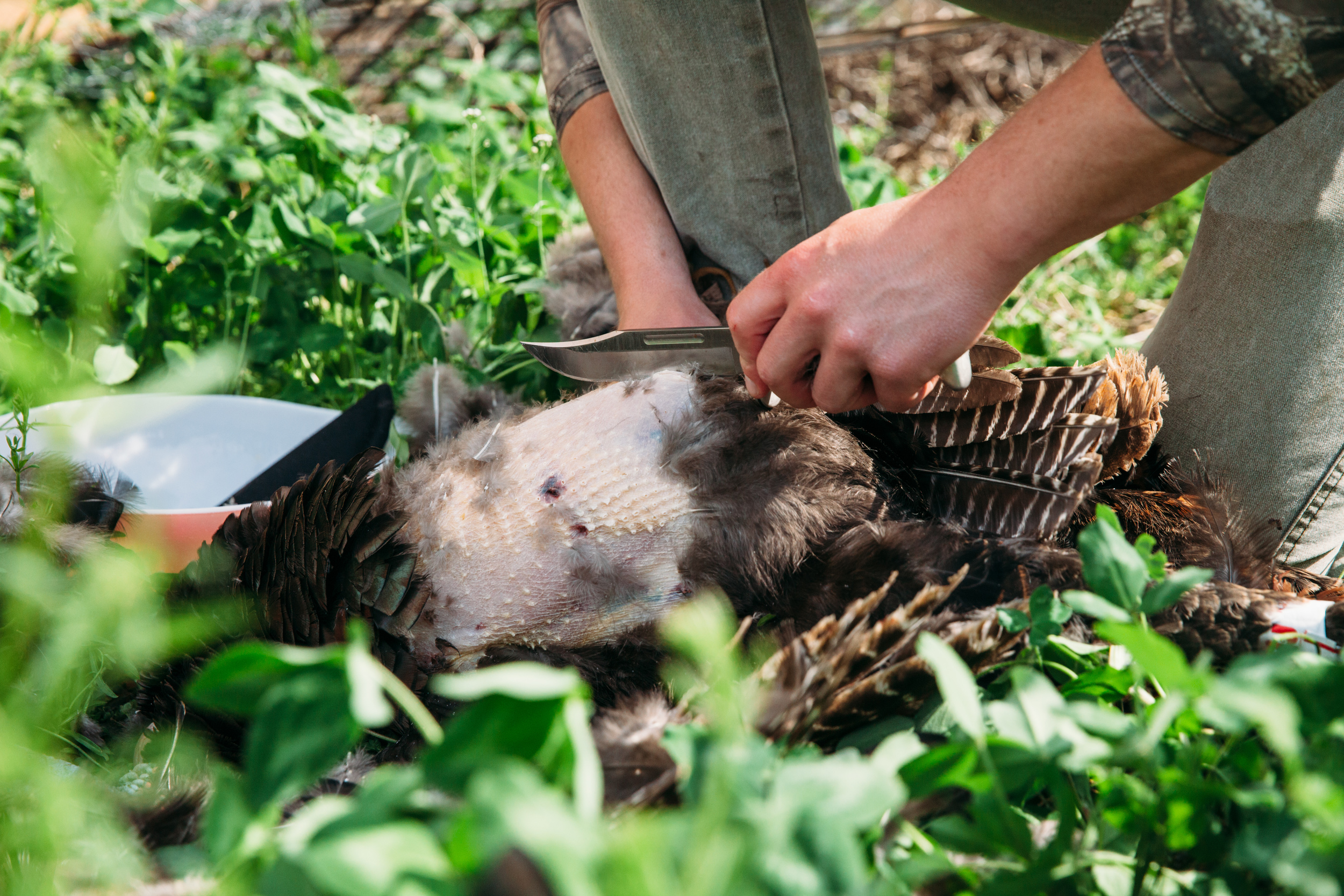
Plucking the breast meat area.

Plucking the breast meat area.

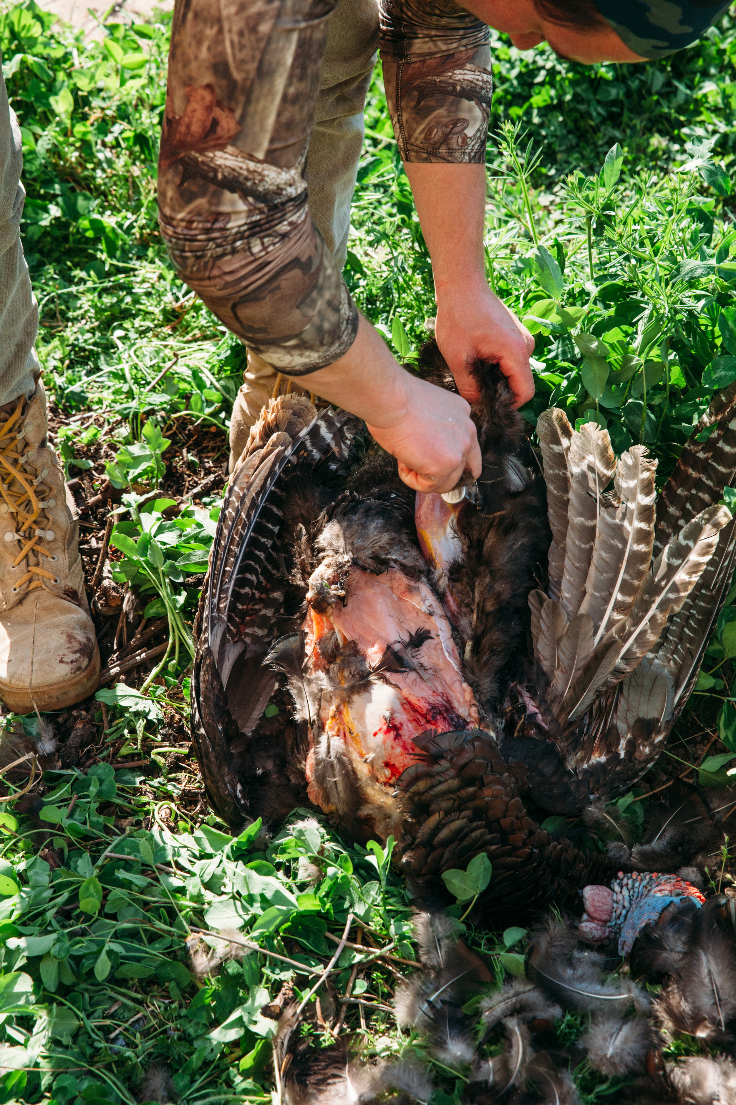
After enough of the feathers are removed cut along the sternum to remove the breast meat.

After enough of the feathers are removed cut along the sternum to remove the breast meat.

A recently shot turkey is being butchered and prepared for a tasty meal. 
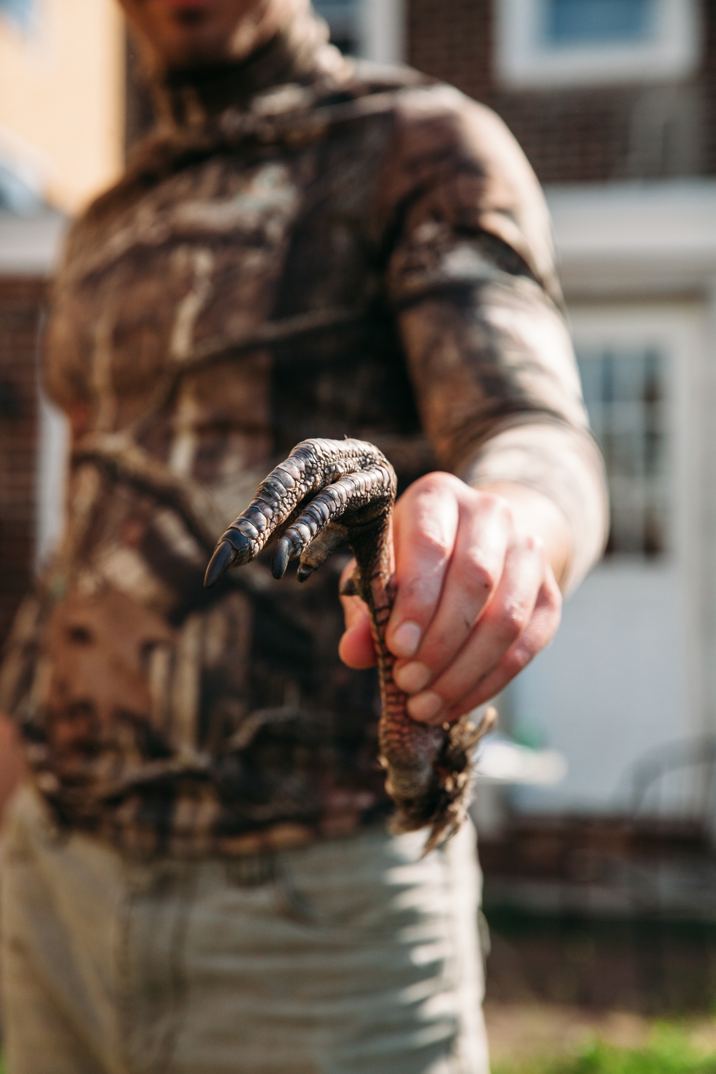
A turkey foot is removed during the process of preparing turkey meat for eating. 
After the breasts are cut out, the skin can be pealed away from the drum sticks (basically turning them inside-out) and then cut them away from the body.

After the breasts are cut out, the skin can be pealed away from the drum sticks (basically turning them inside-out) and then cut them away from the body.

A look at the iridescent brown feathers of a wild turkey, photography by Compass & Canvas.  

If you missed part I of our favorite things to do at the Delaware Water Gap, click here

Our Favorite Things To Do at the Delaware Water Gap by Tara Tayan

The Delaware Water Gap National Forest boasts a large swathe of preserved land on both the Pennsylvania and New Jersey sides of the Delaware River, offering endless recreational activities. Plus, exploring past human developments ended by the purchase of the land by the Federal Government, now frozen in time by the protection of the park, can be just as fun.  It is awesome having land preservation on such a large scale less than 2 hours away from Philadelphia. The miles of, at times treacherous, back roads make one feel as though they are in a remote wilderness.   

Crossing Dingman's Ferry Bridge from PA to NJ.

Crossing Dingman's Ferry Bridge from PA to NJ.

A scenic view during a hike in the Delaware Water Gap, New Jersey.
Thunder Mountain Road, NJ

Thunder Mountain Road, NJ

The smoke from a forest fire on the Pennsylvania side of the Delaware River from New Jersey.

The smoke from a forest fire on the Pennsylvania side of the Delaware River from New Jersey.

Outdoor hiking in the backwoods of the Delaware Water Gap, New Jersey.

The Delaware Water Gap National Forest came into existence in the 1960s when the federal government began buying up land in the area in order to put a dam on the Delaware River.  The plan fell through and the land was turned over to the National Park Service who continued to buy up land in the area from anyone willing to sell.  In many cases the settlements on that land, farms, inns, houses and even small towns remain and are left untouched.  This scattered abandonment offers a unique natural experience and a glimpse into the areas history.  Plus, it makes for some damn good photo ops.  Here are a few of the best locations for abandoned development in the Delaware Water Gap National Forest…

Looking across Long Pine Pond, New Jersey, once the center of a Boy Scout Camp.

Looking across Long Pine Pond, New Jersey, once the center of a Boy Scout Camp.

Pondering if we should take a dip into Long Pine Pond, New Jersey.
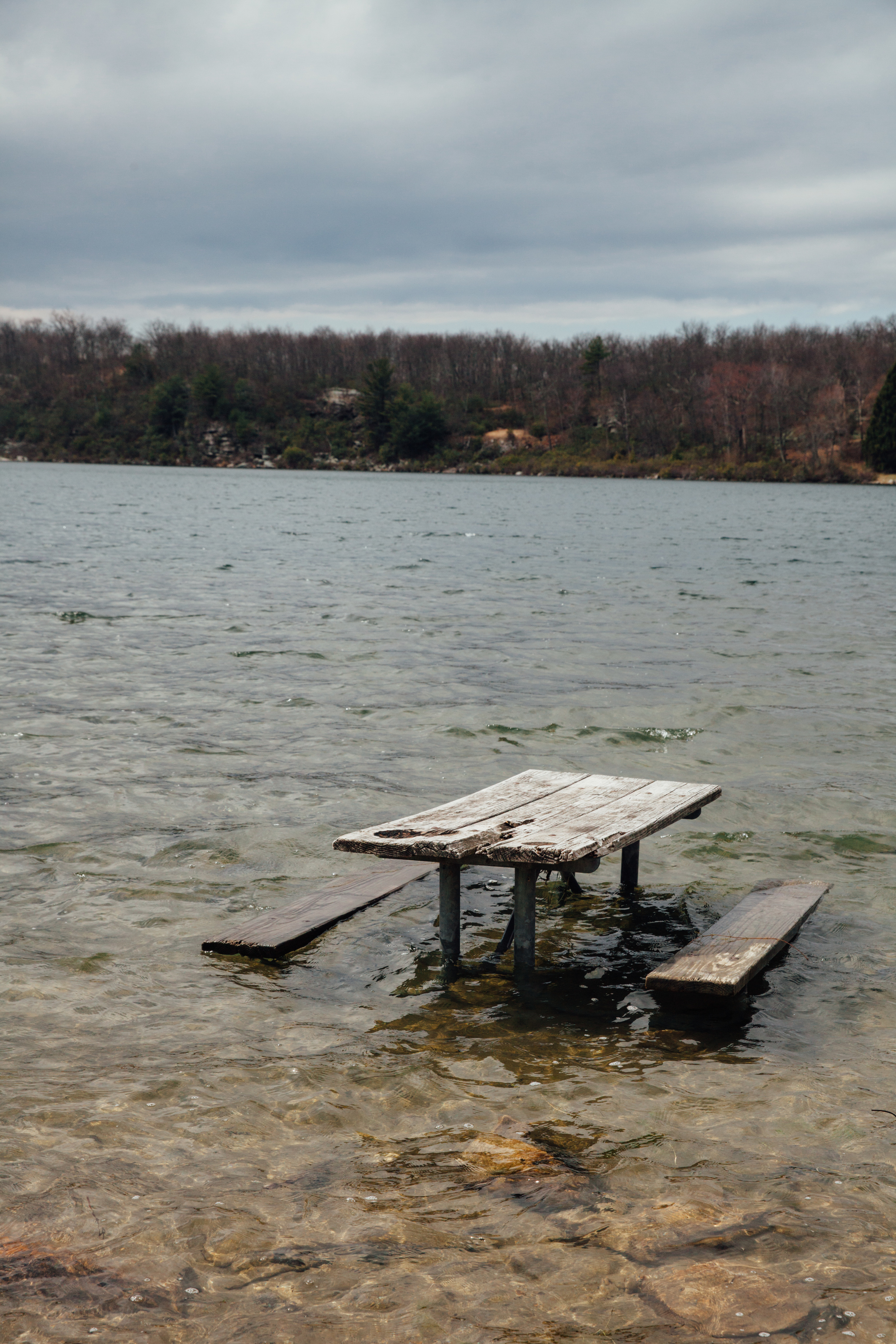
A picnic area, part of which is now in Crater Lake, New Jersey.

A picnic area, part of which is now in Crater Lake, New Jersey.

An overlook close to the Appalachian Trail, New Jersey.

An overlook close to the Appalachian Trail, New Jersey.

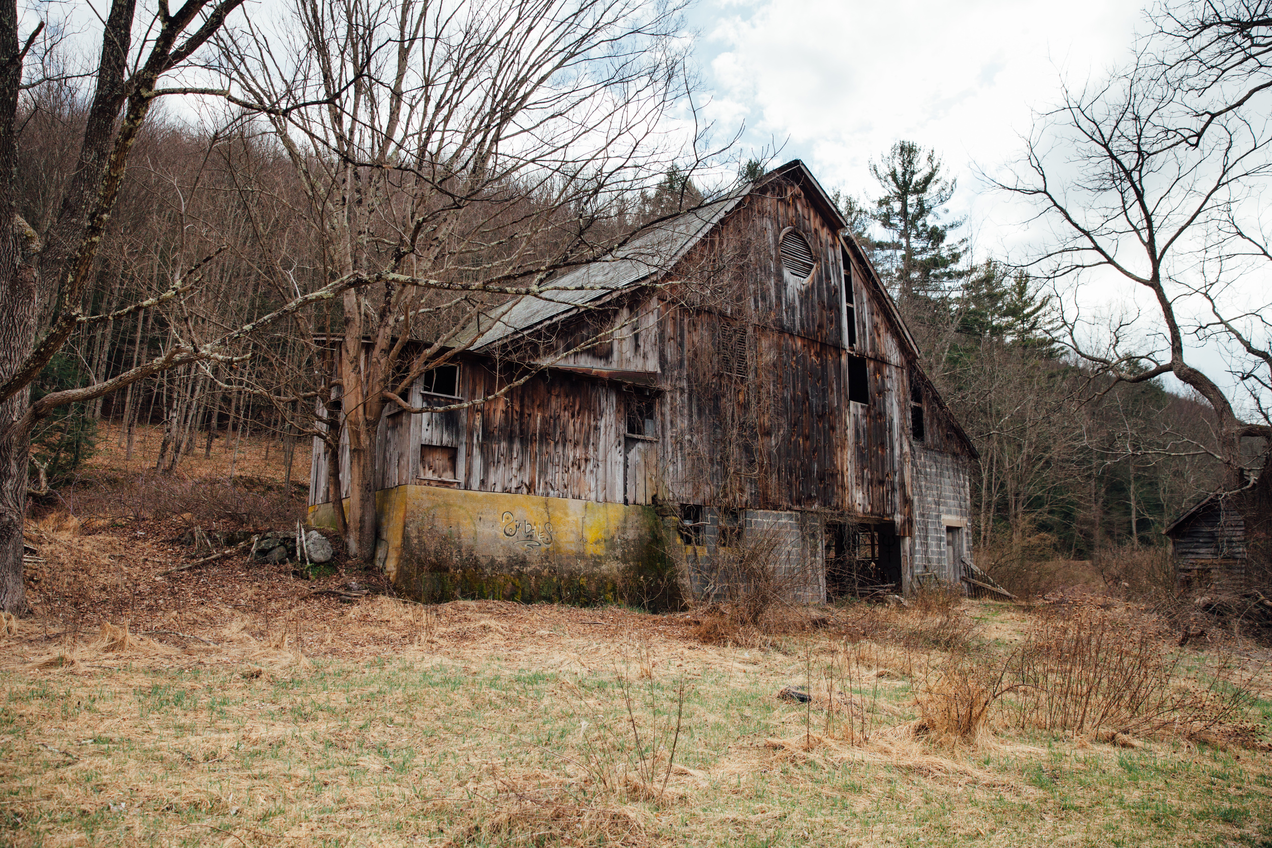
An abandoned farm house we passed on the way to Buttermilk Falls, New Jersey.
An abandoned farm off of Mountain Road travelling north toward Buttermilk Falls, New Jersey.

An abandoned farm off of Mountain Road travelling north toward Buttermilk Falls, New Jersey.

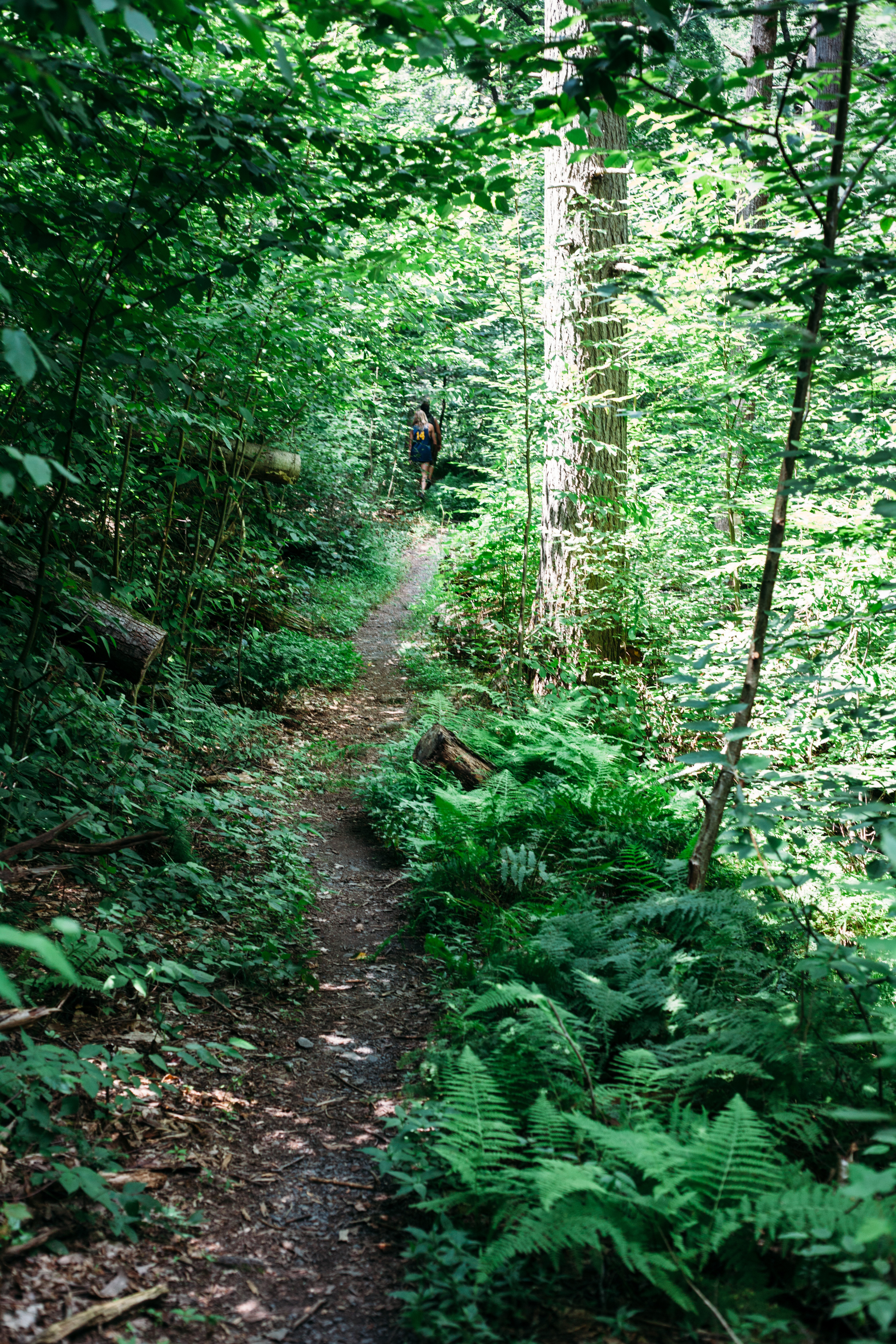
Hiking through the Delaware Water Gap on the way to Buttermilk Falls in New Jersey.
An old, abandoned outhouse structure in the Delaware Water Gap, New Jersey side. 
An old abandoned destroyed structure in the Delaware Water Gap forest in New Jersey.
Abandoned farm at the intersection of Old Mine Road and Kuhn Road, New Jersey.

Abandoned farm at the intersection of Old Mine Road and Kuhn Road, New Jersey.

If you walk toward the Delaware River from the farm shown above you come across some older ruins.

If you walk toward the Delaware River from the farm shown above you come across some older ruins.

Remains of the New York, Susquehanna and Western Railroad Bridge at Karamac.

Remains of the New York, Susquehanna and Western Railroad Bridge at Karamac.

As far as more traditional recreation activities, we love hiking through the park, specifically in the summer when the destination is a waterfall or some sort of cliff where we can jump into a pristine, or at least refreshing, body of water.  There are opportunities for this on both the Pennsylvania and New Jersey side of the park.  Here are a few locations for swimming, cliff jumping, or at least sight seeing in the Delaware Water Gap National Forest.

Buttermilk Falls is a natural, mossy waterfall in the Delaware Water Gap, New Jersey.
Buttermilk Falls is a majestic, powerful waterfall in the Delaware Water Gap of New Jersey.
Buttermilk Falls and the staircase along-side it.

Buttermilk Falls and the staircase along-side it.

Hiking uphill through the Delaware Water Gap trails in New Jersey.
A hike, using MindShift photo equipment, through the Delaware Water Gap in New Jersey.
Baby tree saplings growing at the forest floor in the Delaware Water Gap, New Jersey.
A hike along tree trunks through the Delaware Water Gap forest in New Jersey.
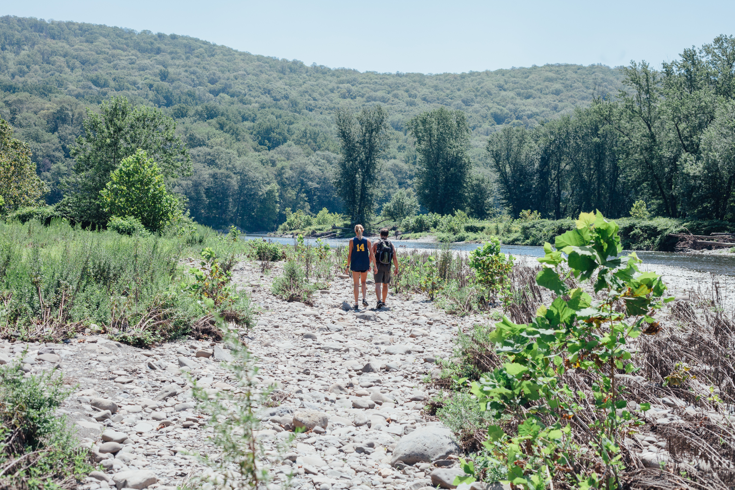
Walking along Brodhead Creek, Pennsylvania on the way to the remains of
 
Normal.dotm
0
0
1
8
51
Temple University
1
1
62
12.0


0
false


18 pt
18 pt
0
0

false
false
false


 /* Style Definitions */
table.MsoNormalTable
	…

Walking along Brodhead Creek, Pennsylvania on the way to the remains of the New York, Susquehanna and Western Railroad Bridge at Karamac.

A summer swim around the remnants of a railroad bridge in Brodhead Creek, in Pennsylvania.
A summer hike along Adams Creek Trail in Pennsylvania.
Adams Creek Trail, Pennsylvania: On our way to a series of waterfalls. See below.

Adams Creek Trail, Pennsylvania: On our way to a series of waterfalls. See below.

Rocky, natural waterfalls along the Adams Creek Trail in the Delaware Water Gap of Pennsylvania.
pennsylvania-wildlife-waterfall-frog
A cool, refreshing swim in a clear waterfall pond along Adams Creek Trail in Pennsylvania.
Cliff jumping off a waterfall along Adams Creek Trail in the forests of Pennsylvania.
A refreshing, green waterfall along the natural Adams Creek Trail in the Delaware Water Gap of Pennsylvania.
A summer waterfall hike along Adams Creek Trail in the forests of Pennsylvania. 
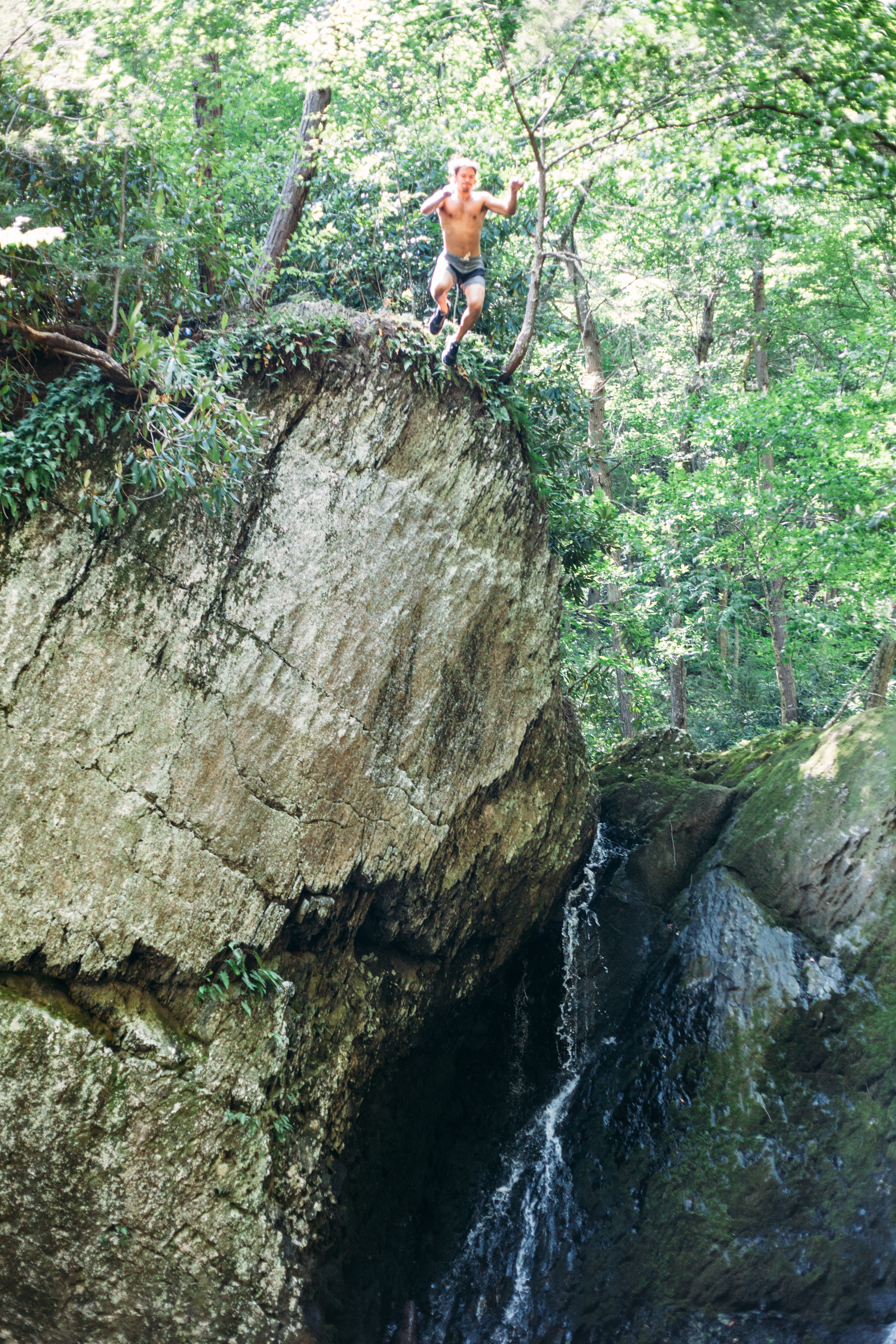
A cool, refreshing cliff dive off of a waterfall in the Delaware Water Gap of Pennsylvania. 
Cliff jumping is a thrilling, popular activity at the Delaware Water Gap of Pennsylvania.

Plus, there's always plenty of wildlife along the way...

This is not a beaver or muskrat, just a ground hog taking a swim on a hot day.

This is not a beaver or muskrat, just a ground hog taking a swim on a hot day.

An unusual sighting, a groundhog swimming cross Brodhead Creek, Pennsylvania.
A groundhog swims across Brodhead Creek during a hot, summer hike.
Colorful newts are abundant in the Delaware Water Gap region.
Common Merganser

Common Merganser

Canada Geese and Mallards on a double date.

Canada Geese and Mallards on a double date.

Abundant in wildlife, the Delaware Water Gap, New Jersey side, has many species of frogs.
A green frog sits in a tidepool by a waterfall in the Delaware Water Gap, New Jersey.
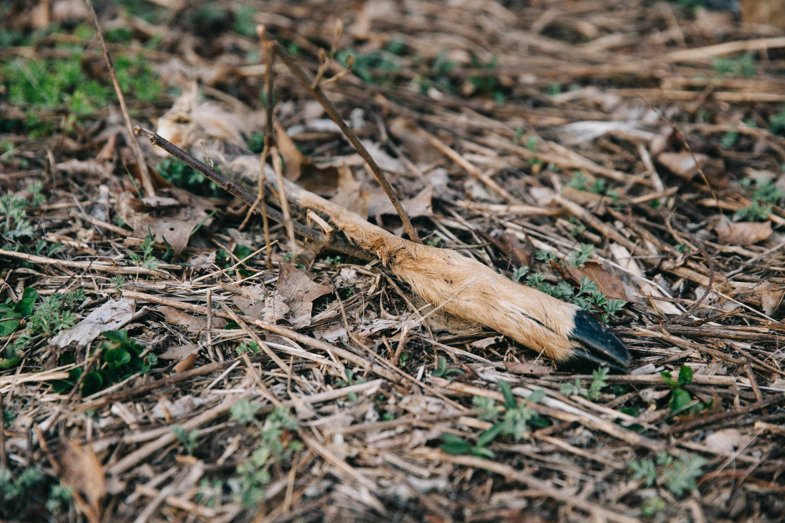
Deer remains, based on the scat (poop) found around it, probably eaten by coyotes.

Deer remains, based on the scat (poop) found around it, probably eaten by coyotes.

Documentation of deer remains and remnants.
Photographed is a deer skull, which was eaten by coyotes.
The Delaware Water Gap has many opportunities to see wildlife and explore nature.
Here, a box turtle hides from its predators at the Delaware Water Gap, New Jersey.
A big black bear dump.

A big black bear dump.

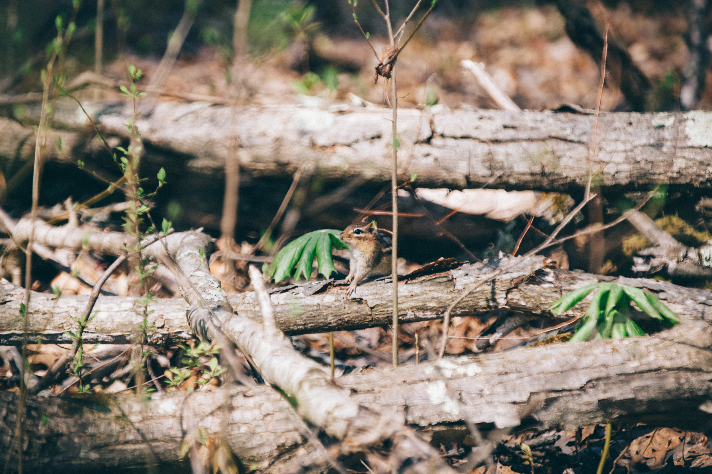
Animals of all sizes can be found in the Delaware Water Gap, such as chipmunks
Many insects to examine at the Delaware Water Gap in New Jersey's forests.